1998.285.691 (Lantern Slide)

1998.285.691 (Lantern Slide)
Sir Charles Bell
Sir Charles Bell
1923-1924
1998.285.691
81 x 81 mm
Lantern Slide
Donated 1983
St. Antony's College, Oxford
Sir Charles Bell
Sir Charles Bell; Royal Central Asiatic Society
L.287
British Library, Oriental and India Office Collections
For Citation use:
The Tibet Album.
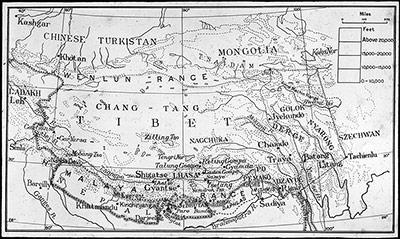
"Map of Tibet"
05 Dec. 2006. The Pitt Rivers Museum.
<http://tibet.prm.ox.ac.uk/photo_1998.285.691.html>.
For more information about photographic usage or to order prints, please visit the The Pitt Rivers Museum.
© The Pitt Rivers Museum
